Discover Paradise with Ocracoke Island Vacation Rentals
Where Historic Lodging Meets a Quieter Outer Banks Escape
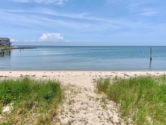
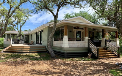
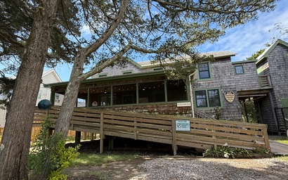
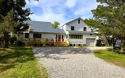
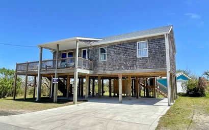
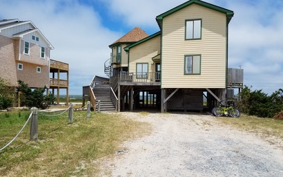
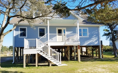
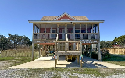
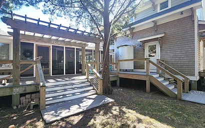
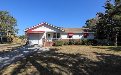
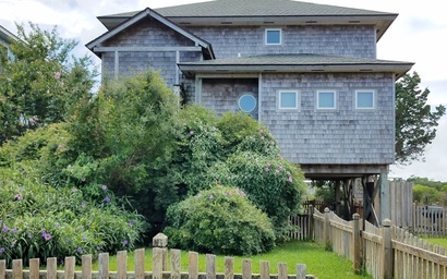
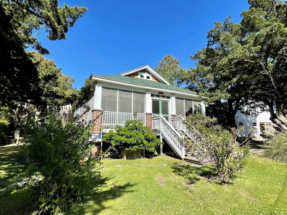
Escape the busier side of the Outer Banks and settle into Ocracoke Island vacation rentals shaped by historic charm and a quieter coast. For more than 30 years, Ocracoke Island Realty has helped guests book the best places to stay that hold onto the island’s historic rhythm from over 300 cottages, beach houses,condos, cabanas, and duplexes. Book direct from the local team that knows which lodging keeps old Ocracoke close and which ones give your trip more room to breathe.
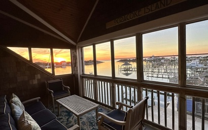
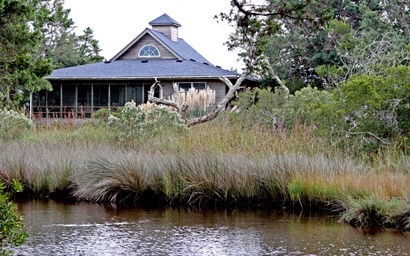
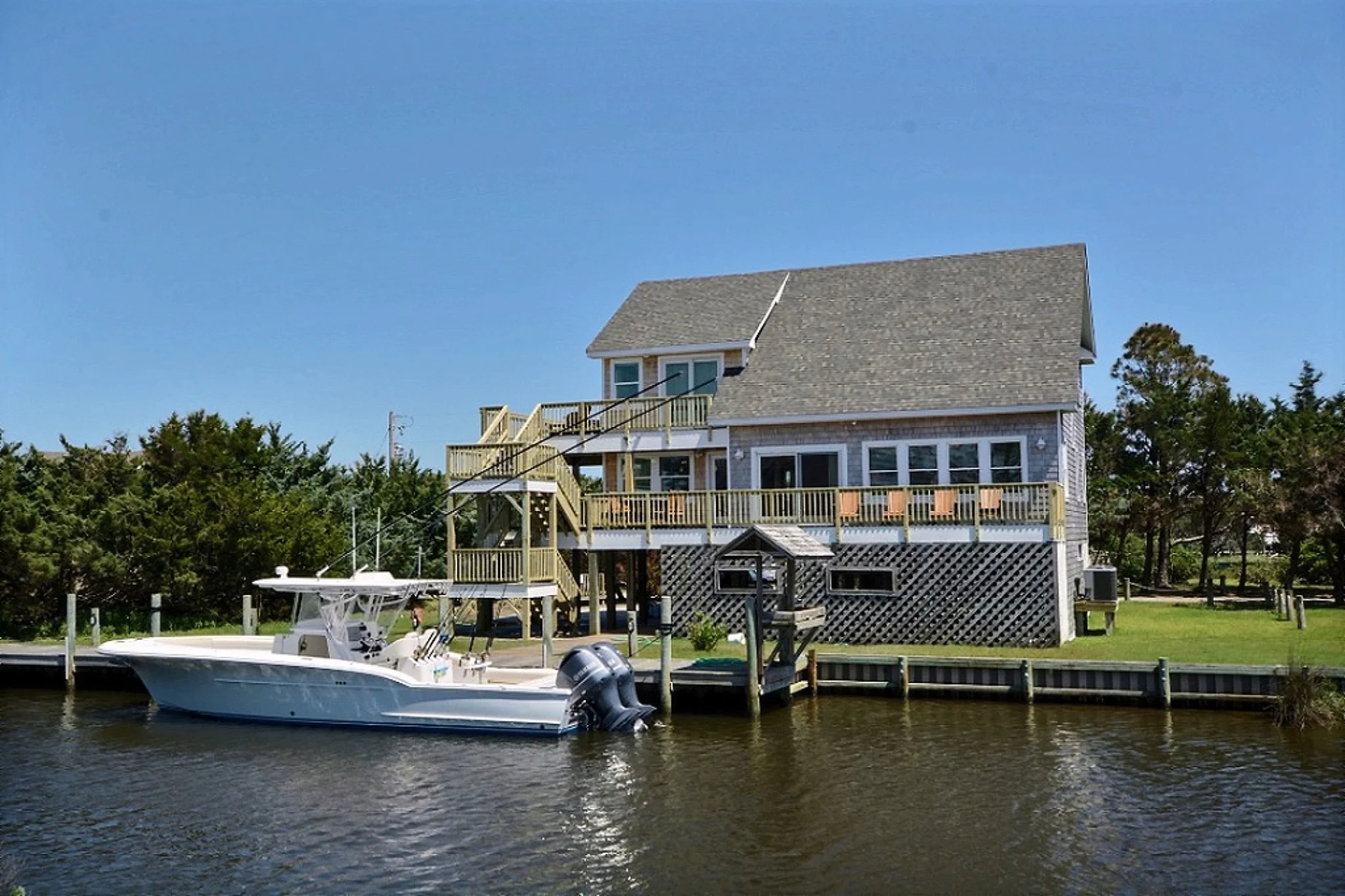
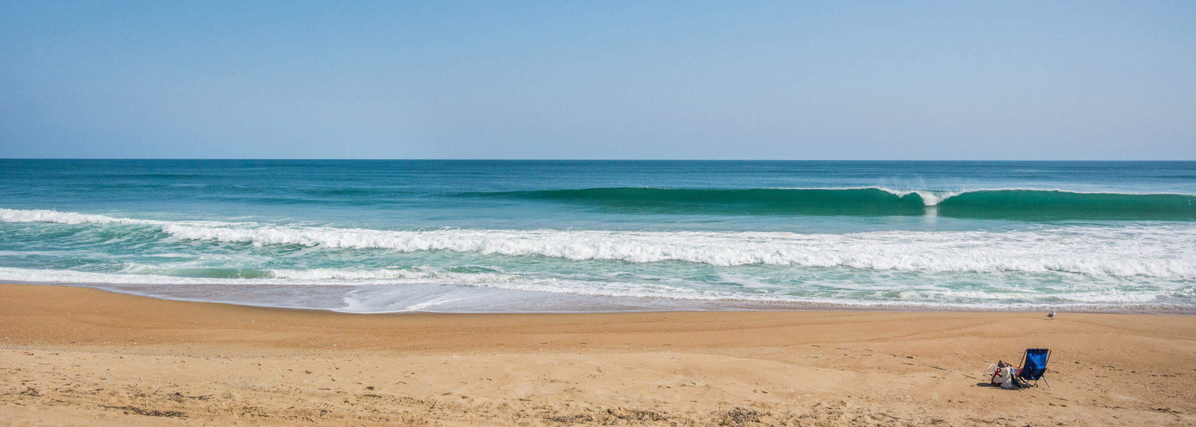
On Ocracoke, the day opens more slowly and stays that way. Start in the village where the harbor and local shops sit an easy walk away, or head for a waterfront rental where the view does most of the talking. Spend the afternoon on the National Seashore, then come back to a beach house with a pool, a pet-friendly retreat, or a porch that keeps the salt air close. Even a partial week escape feels fuller here, because this side of the Outer Banks never asks the week to rush.
Ocracoke Island Realty offers a curated selection of premium accommodations on this serene, historic Island, combining Southern hospitality with the comfort and privacy of home. We back every stay with year-round local property management that keeps the booking sharper, the home better prepared, and the support close at hand. Find your perfect beach rental and create lasting memories on the enchanting Ocracoke Island.

.jpeg)